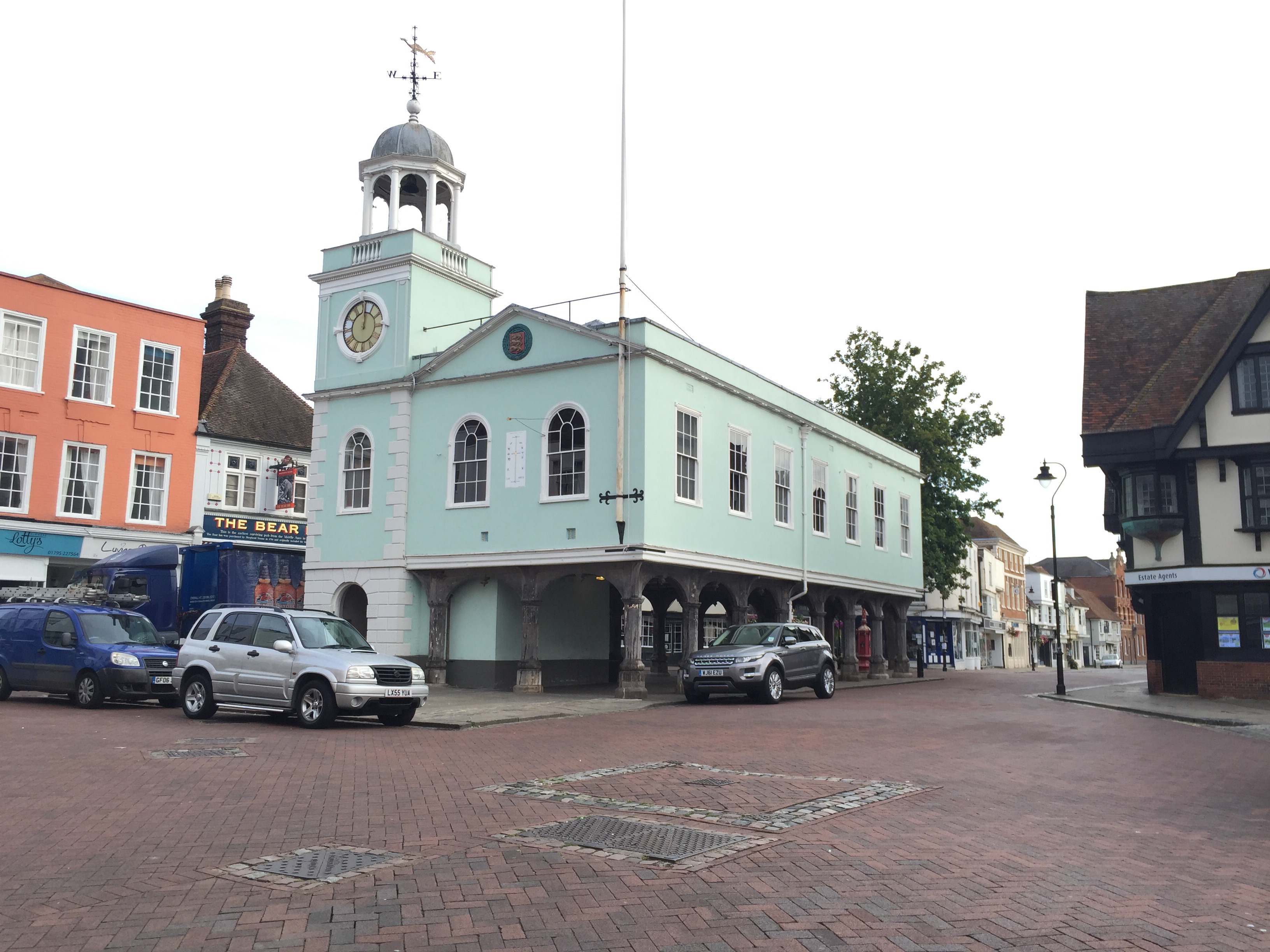
I was pleased to see the Design South East report on “More Faversham” and hope very much that it will serve to guide discussion about the future of the town.
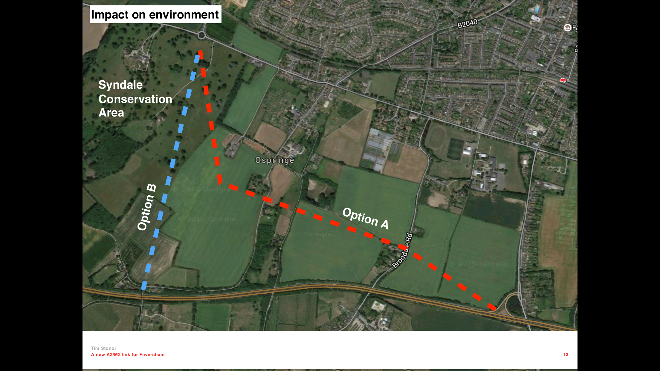
I was both pleased and concerned to see so much of the Space Syntax analysis featured. Pleased, because it seems to have resonated with the workshop participants and concerned because I would have liked to have known of its inclusion in advance so that I could have proofed the images and accompanying text. Most concerning is the “Closed” analysis on p13, which is incorrectly described in the text below. This has already alarmed many people when it was discussed at yesterday evening’s Town Council meeting (see my note below). In addition, the image quality on pp10-15 is poor when it could easily – and should – have been much clearer.
I hope the comments below can be addressed in the next draft of the report, especially since issues like p13 can wrongly detract from an otherwise impressive report.
And I hope very much that d:se will be retained to provide continuing, and much needed, support going forwards, both in terms of “big picture thinking” but also in the scrutiny of development proposals through a “design review” process.
_____________
Comments on ds:e “More Faversham” report
p6 should say:
Apart from some challenging topography on the north-west side (Dark Hill and Davington Hill), Faversham…
not:
Apart from some challenging topography on the north-east side, Faversham…
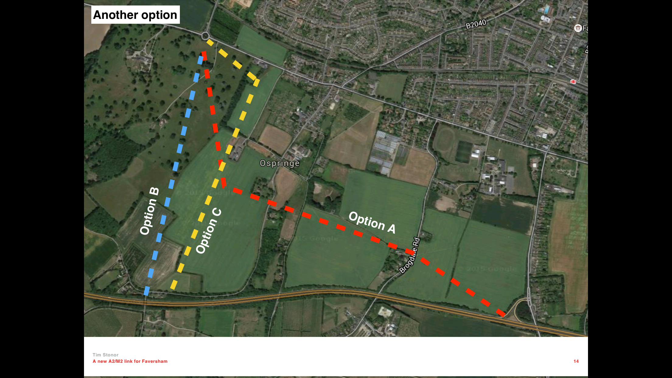
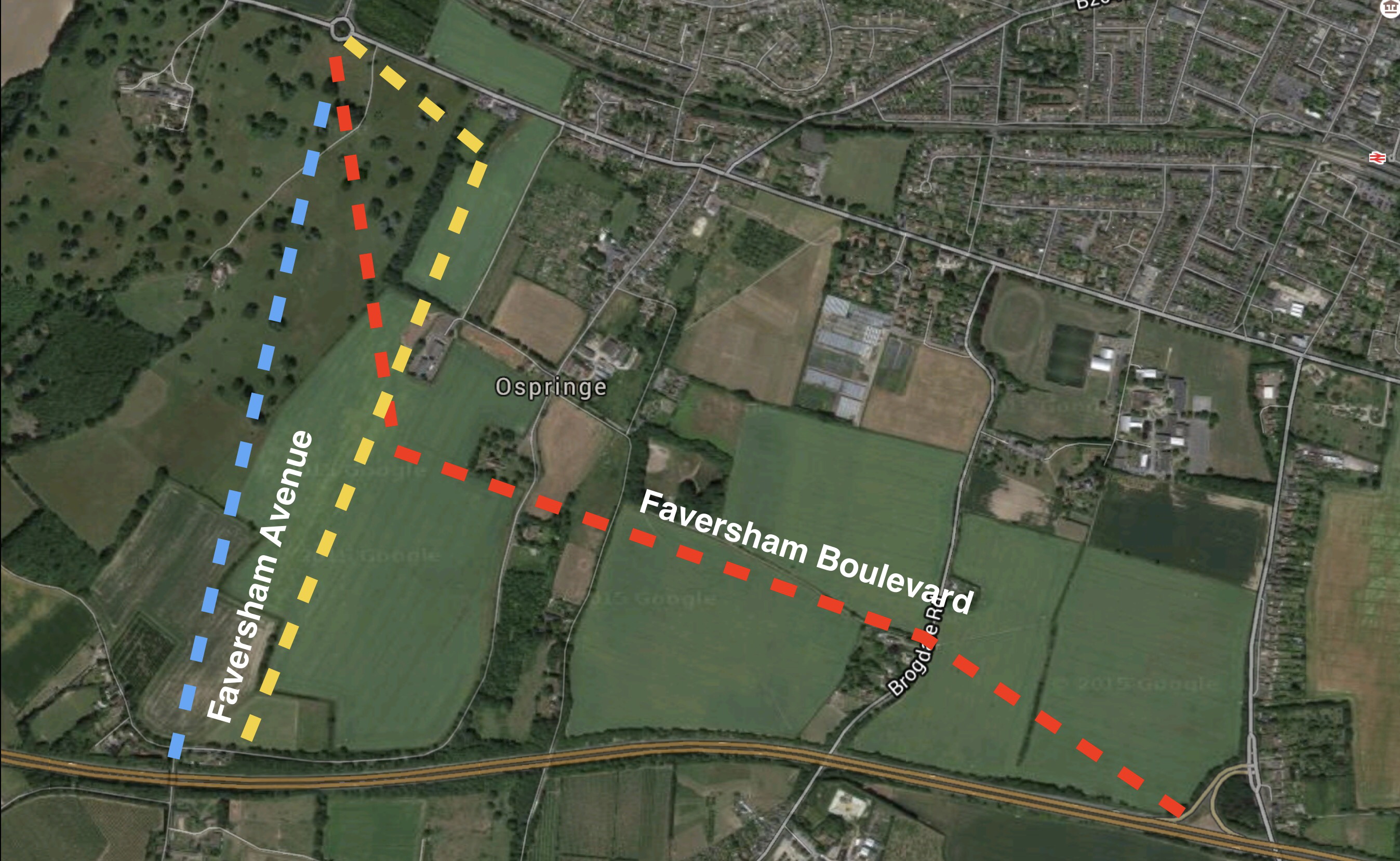
pp10-15 The image quality is poor. Space Syntax can supply print-quality images.
p10 Should say “Space Syntax” not “Space Syntax Ltd”. Add “Space Syntax © 2016” to each image.
p11 Delete this page – it doesn’t add to the argument since similar points can be made for the 3km analysis on the next page.
p13 Delete this page – the purpose of this analysis is not to suggest that the bridge might be pedestrian-only but rather to describe the likely impact on traffic patterns while the bridge is closed for construction. As it is, it is a technical argument that is not relevant to the general nature of the overall document.
p15 rewrite paragraph as follows:
“By combining their spatial scores for shorter and longer journeys, it is possible to categorise streets in terms of which are more important for “walking”, “driving” and “cycling” or a combination of different modes. Red streets score highly for both walking, cycling and driving, and this indicates that their design needs to cater for each type of user. Note that the A2 is in this category. Many of the key walking and cycling routes run north-south, and this could help promoting walking and cycling to the station and town centre from new housing at the town’s southern edge.”
p18 changes in bold italics:
Enhancing the A2
As growth occurs to the south of the A2, then the role of this major route needs to be re-evaluated to reflect its new place as a main street within the town, rather than as a highway passing by it. Improved crossings, lower speeds and a more pedestrian- and cycling-friendly environment will all be needed to ensure this new town street does not act as barrier, dividing the old and new parts of the town.